Mine closures
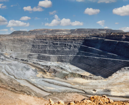
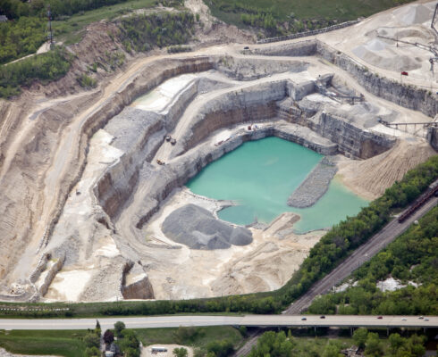
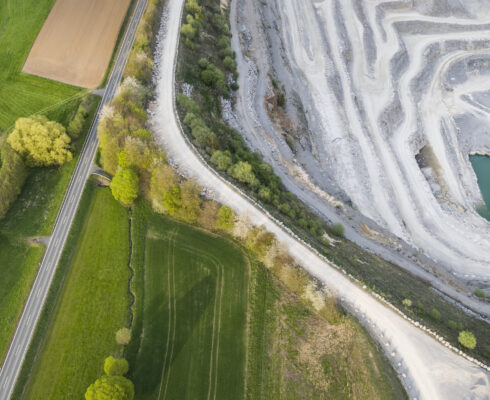
Pit lakes are a critical part of sustainable mine closures. Used for decades, they’re purpose-built and often approved before a mining operation starts.
“Because of their water quality characteristics, pit lakes act differently to natural lakes,” says Alireza Ghane, Hydrodynamics and Water Quality Modeller at Ecometrix. “They’re deep, have steep slopes, and are usually wind sheltered. Because of the water quality, they need to have detailed planning and management strategies.”
Thermocline (when water is stratified due to temperature differences), and chemocline (when water is stratified due to dissolved materials), and the way they interact is what tells the story of a pit lake.
Alireza explains that pit lakes usually have two layers. The first, clean water, is lighter and stays at the top. The second, which is contaminated with different constituencies, remains at the bottom. Sometimes, if the wind is too strong or other variables are at play, like large convections, groundwater intrusion, or seasonal turnovers, these layers will mix.
It’s when they do that problems arise, and hydrodynamic modelling can step in to provide a solution.
A proven process
Alireza shares how, in many cases, our clients want to make sure a pit lake’s bottom layer won’t come to the top. A hydrodynamic model doesn’t just answer that question but can offer insights for as long as 100 years into the future.
To do so, our team of experts follows a proven process.
“First, we look at bathymetry, where you enter the field and do a survey if a bathymetry survey hasn’t been done,” Alireza says. “We put that in the model with other data we prepare – meteorological data like rain and snow, relative humidity, and solar radiation. After that, you need an initial condition to start the model with. For example, a temperature profile or a dissolved solids profile.”
Following that, the team will carefully calibrate the model to match observations. “Once we’re confident it’s calibrated, we can start predictions and forecasts.”
The entire process is one that aligns with the four principles of TASC that combine to create our Environmental Intelligence™ process.
“We formulate the questions first to see what kinds of tools we can use,” Alireza says. “Then we do the job and try to answer that question with the model. Once it’s calibrated, there needs to be a solution. After that, there’s communication, which we can do through videos and charts, from everywhere in the water body.”
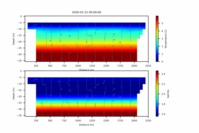 A 3D model of a hypothetical pit lake.
Above shows a 3D model of a hypothetical pit lake that’s stratified because of chemical contents deposited into the pit. The top panel shows the water temperature. The bottom panel shows the salinity as an indicator of chemical stratification. The lines show the streamlines. The model predicts the future condition of the pit, showing how the chemocline upwelling and downwelling occurs with seasonal thermocline movements.
A solution for the future
As with most environmental solutions, it’s common for a client to produce new data after a few years, which Ecometrix will monitor and use to update and recalibrate the model.
Alireza and the team also create live models, which can be automated so the client can run it by themselves to see what’s predicted. “The industry is becoming more advanced and regulations relating to the environment are getting stricter, which brings up these kinds of questions more and more,” Alireza says.
In short, hydrodynamic modelling isn’t just a field that’s providing solutions long into the future. It’s one that’s constantly evolving.
See how we’re elevating environmental data
EMMA is a software solution designed and developed in-house at Ecometrix to store and manage large datasets.


